Clark's Point
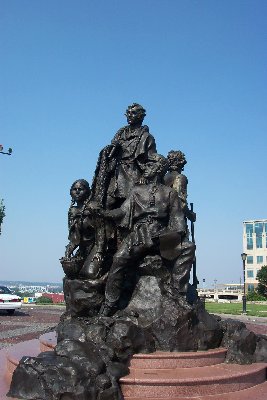
Case Park
Eighth and Jefferson
Kansas City, Missouri
Captain Lewis and my Self assended a hill which appeared to have
a commanding Situation for a fort, the Shore is bold and rocky immediately
at the foot of the Hill from the top you have a perfect Commanding Situation
for a fort Clark's Journal,
15th of September 1806
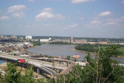
On the journey back, the Corps of Discovery stopped again near the
confluence of the Kansas and Missouri Rivers. This spot offers a
spectacular view of the river area and an opportunity for several cross
curricular activities.
Composition
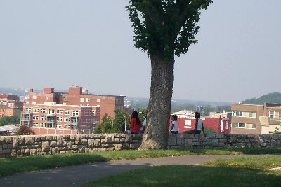
This is a perfect spot for journal entries as the
area is surrounded by a stone wall with benches along the walk. Ask
the students to read Clark's
journal describing the area, and have them write a modern day journal
on what they see today.
Geography
The view allows for students to practice their
map making skills - an excellent companion assignment to the journal
entry described above. Have students sketch the river and the highways
which have replaced them as the primary means of travel. Download
the
map of the area by Clark and have students study it. Make sure
they find Kaw's Point, directly in front of them.
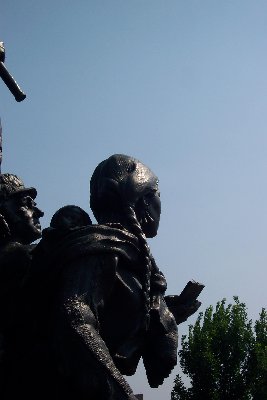
Sacagawea and Jean Baptiste "Pomp"
|
York
|
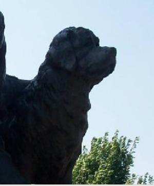
Seaman
|
ART
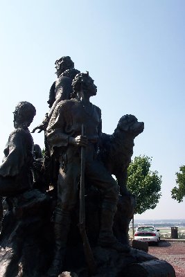
A statue of Lewis and Clark, Sacagawea,
York and
Seaman dominates this park, and provides an excellent model for art students
to draw and study. The artist's model of this sculpture included
a face in the tail, that of the artist. Have the students look in
the finished model and see if there is a face in this tail.
The sculpture also offers a good lead in to a study
of the three members of the Corps of Discovery that will attract much attention
as the bicentennial is commemorated: Sacagawea, her son, Jean
Baptiste, and York. No images of them exist, and there is considerable
debate about their lives before and after the expedition.
Elementary students may well be interested in Lewis's
dog, Seaman. This sculpture offers an opportunity for them to
study this distinctive dog breed.
Foreign Language
The site contains signs that tell the story
of the French settlers who preceded Lewis and Clark in the area.
These are two sided signs; one side is in French, and the other side is
in English. This makes for a unique opportunity for students
of French to practice translation. You can have them view the images
before the trip and work on the translation or have them do it while in
the field.
History
This area provides for a look at several different
historical topics and eras. The rivers below were key highways in
the French fur trade that flourished here before the Lewis and Clark expedition
passed through. The signs detail this history.
In addition, the Kansa
Indians used this river valley for hunting.
Both groups interacted with each other in economic
and social ways. For example, Sacagawea was the one of two "wives"
of Toussaint
Charboneau, a French fur trader who joined the expedition.
Provide background on these characters depicted on
the statues before the trip, and have them journal about them as they
sit on the bluff overlooking the river.